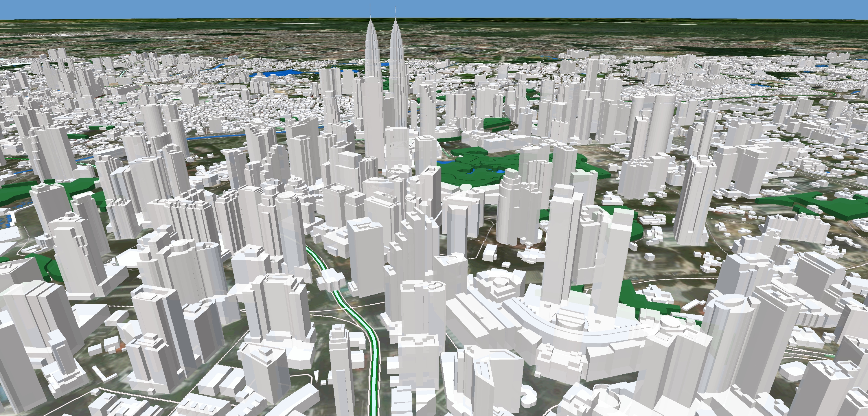
Geographic Information System(GIS)
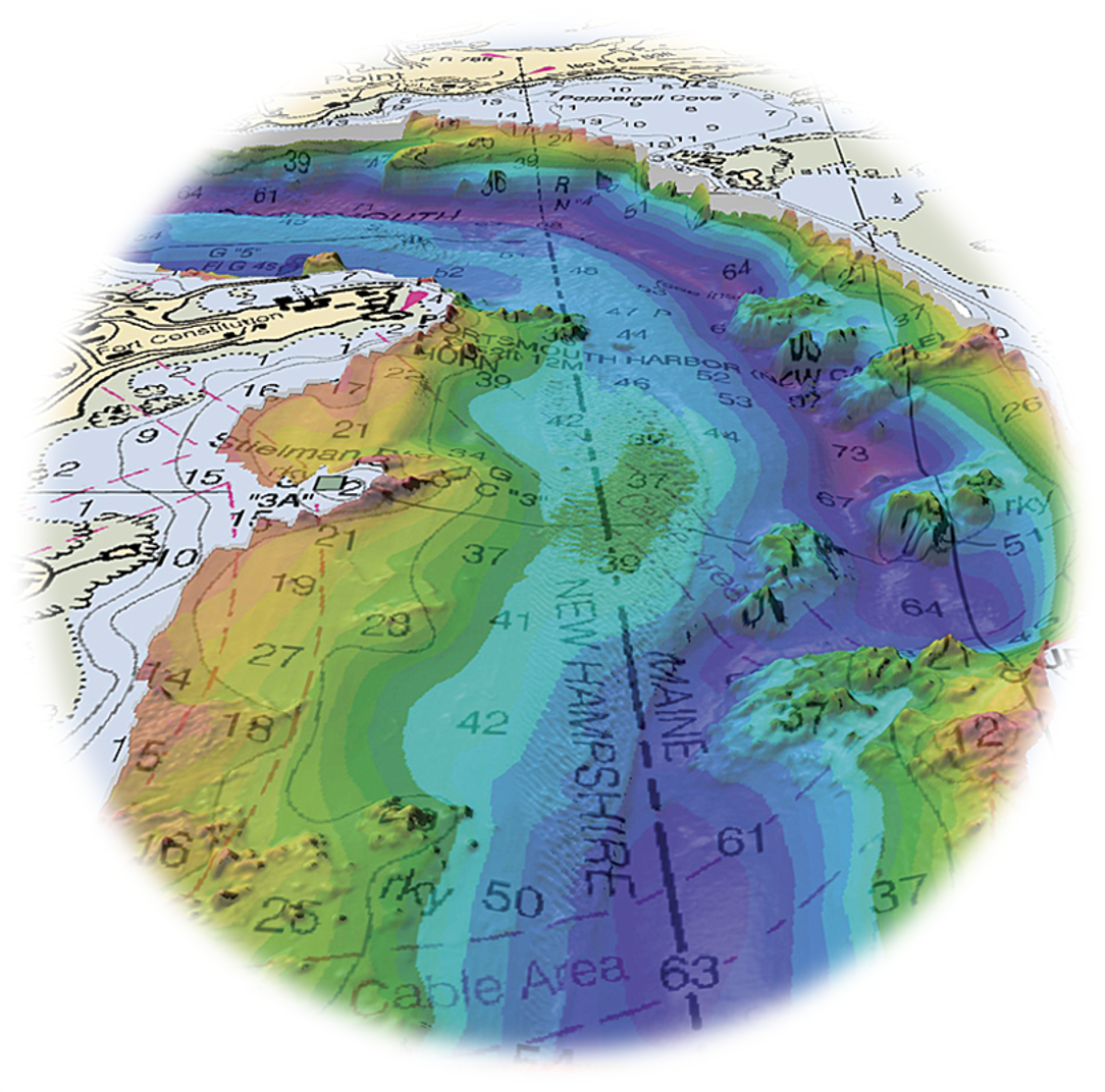
Digdat provides numerous GIS services to its clients all over the world. GIS services rendered by us allow for the visualization of geographic data, analysis of spatial relationships and efficient data management. Our complex GIS Mapping Services include capturing, storing, editing, processing, integrating, manipulating, analyzing, and displaying data which are spatially referenced to the Earth. We uses latest technology, research and innovation that are implemented by highly experienced and qualified staff to conduct any project for industry vertical.
Digdat technical teams have good hands-on experience of using GIS software’s like ESRI ArcGIS, Bentley, Terrasolid, Lidar 360, Rapidlasso, Quantum GIS, FME, Mapinfo, Autocad and etc. In general, our GIS services includes in the following:
|
|
|
||
|
|
|
||
|
|
|
||
|
|
|
||
|
|
|