Training
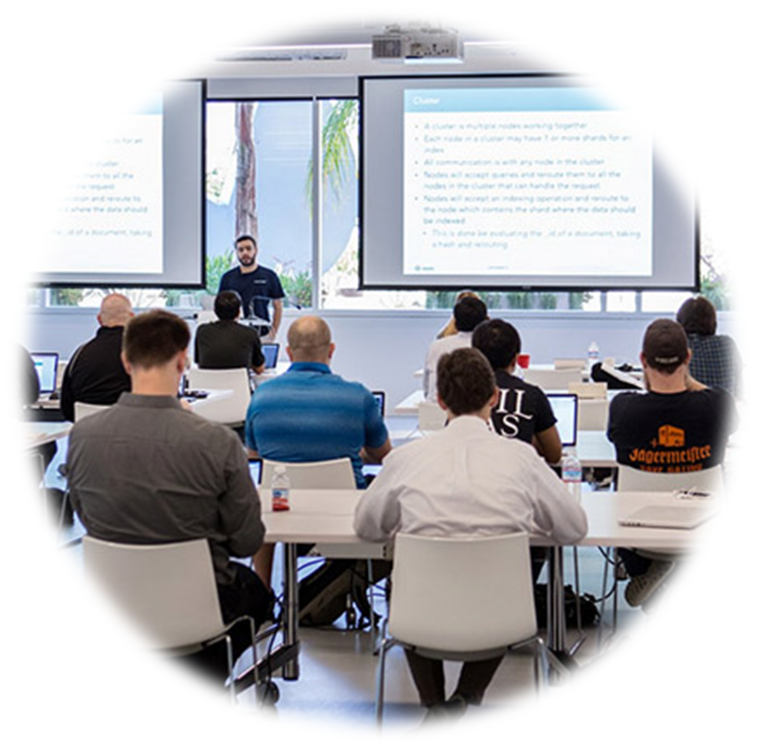
Professional training will make all the difference to your success. We offer standard and custom Remote Sensing and GIS training in the following formats:
- Classroom training at OUR location or YOUR location.
- Courseware Self-paced tool kit, GIS and GPS training delivered by experts in both manual and audio/videos on CDs as you watch the instructor's computer desktop, and the software in action. You can repeat lessons anytime you like, from anywhere you like (you can't do that with classroom training.)
Whether it’s just you that needs training or your entire workforce, we have talented and experienced trainers ready to help you succeed. If you want training that uses your data and teaches only the topics you need to know, No problem - we do this all the time for our customers.
Digdat conducts training courses regularly for domestic users. In general, contents of our training includes:
|
Remote Sensing (RS)
|
Geographic Information System (GIS)
|
Drone / Unmanned Aerial Vehicle (UAV)
|
|
|
Software Specific
|
Sensor Specific
|
Industry Specific
|